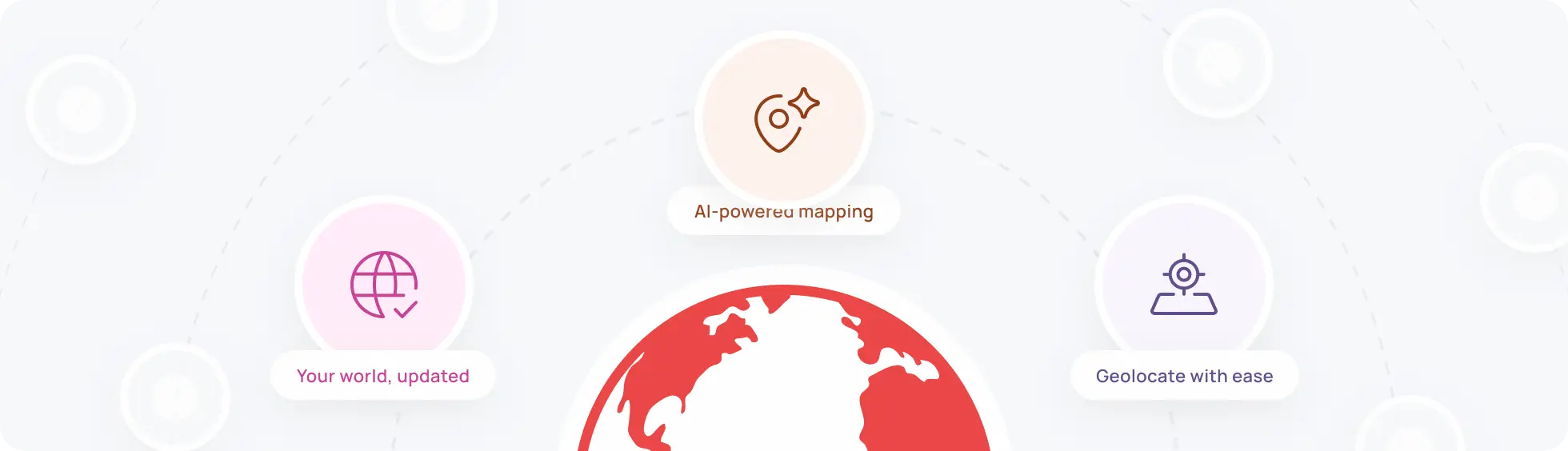
AI agent for POI mapping
Geolocate POIs from street-level images, hands-free
Automatically detect and map points of interest (POIs) with unmatched precision.
Map what Google Maps can’t see
Well-known map services like Google and Bing often miss specific details, such as street signs or parking restrictions.
Our AI agent automatically detects and maps POIs directly from street-level cameras.
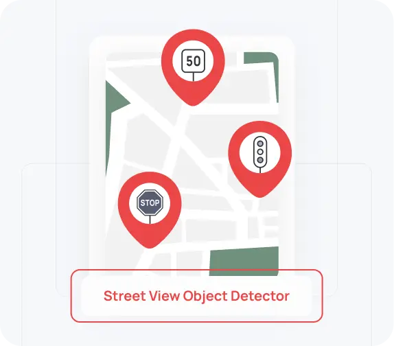
Detect POIs from street views
Automatically identify speed limit signs and other POIs with a YOLO-based deep learning model.
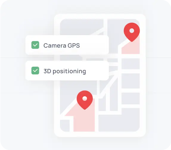
Geolocate POIs with image metadata
Get real-world coordinates using the camera’s GPS, direction, and the object’s position in the image.
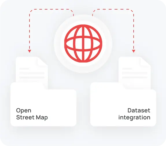
Scale with open data sources
Use publicly available image datasets (Mapillary, OSM) under Creative Commons for cost-effective expansion.
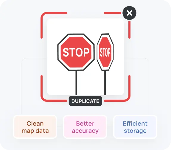
Filter duplicate detections
Cluster multiple detections of the same sign (from different angles/images) to avoid redundant entries on the map.
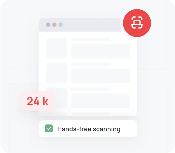
Automate POI extraction at scale
Scan thousands of images hands-free, eliminating the need for manual tagging or fieldwork.
Detect
diverse POIs
Locate various points of interest with solid precision even on low-resolution images.
Add POIs in 4 simple steps
Transform street imagery into precise points of interest for your maps.
Here’s how our AI agent makes it happen.
Step 1
Collect images and metadata from open sources or your cameras.
Step 2
Detect points of interest, like speed limit signs, using the AI detection model.
Step 3
Estimate the exact location of each POI from camera position, direction, and object size.
Step 4
Remove duplicates and update maps with reliable POI data.
Customizations we provide
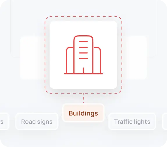
Customize the model to detect other objects like bus stops, parking signs, construction zones, or traffic lights.
Fine-tune the AI model on images and signs specific to your geographical area.
Adapt the system to handle higher-res images or different camera setups for
Tailor output formats to seamlessly fit into your existing infrastructure.
Built for industries that rely on location accuracy
From city management to delivery and navigation,
our AI engine keeps your maps accurate and up-to-date.
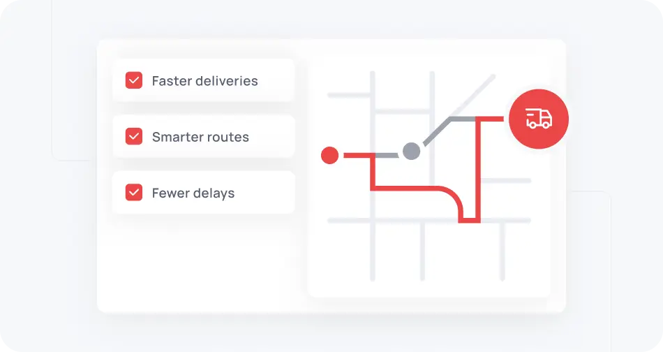
Logistics and delivery services
Use real-time POI data like speed limits and parking zones to optimize delivery routes and reduce delays. Great for courier companies and logistics platforms.
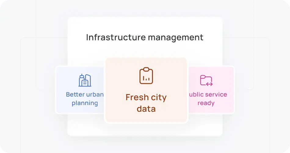
Smart city infrastructure management
Keep your city data fresh and ready for public services or urban development. Ideal for municipal governments, urban planners, and public works departments.
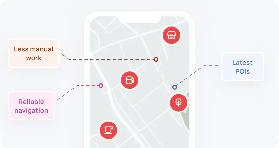
Mapping and navigation platforms
Update your maps with the latest POIs, so you can reduce manual work and give users a more reliable navigation experience. Can be used by GPS app developers and location-based service providers.
Fleet management systems
Integrate POI insights into your routing tools to help drivers avoid violations, plan better routes, and operate more safely. Recommended for fleets looking to cut costs and stay compliant.
POI mapping made simple
- Enhance map accuracyImprove navigation with precise POI data directly sourced from real-world imagery.
- Gain a competitive advantageBe the first to map POIs that others haven’t even noticed.
- Reduce
costsLet AI do the mapping, so you avoid manual work and extra expenses. - Extend to other
POI typesAdapt the model for various POIs like bus stops, parking signs, or street furniture.